
Research answer
What AppTrendKit can say about NZ Topo Map today
NZ Topo Map has no estimate-backed download or gross-consumer-spend figure that meets the public evidence contract yet.
Observed App Store metadata, chart positions, and history are shown below. Missing, non-finite, undefined-currency, or undefined-metric evidence stays missing rather than becoming zero.
Performance intelligence
Observed trajectory and estimates
Store ranks are observations. Downloads and gross store consumer spend are AppTrendKit estimates and only appear when persisted evidence exists.
Estimated downloads · 30D
ModeledNo persisted estimate
The page does not turn missing evidence into zero.
Estimated App Store gross consumer spend · 30D
ModeledNo persisted estimate
The page does not turn missing evidence into zero.
Estimated downloads · 7D
ModeledNo persisted estimate
The page does not turn missing evidence into zero.
Estimated App Store gross consumer spend · 7D
ModeledNo persisted estimate
The page does not turn missing evidence into zero.
Evidence history
Collected daily performance
No daily metric history has been persisted yet.
Rank history
Observed chart positions
Lower rank is better. Only collected observations are shown.
Coverage note
What the ranks mean
A missing rank is not treated as zero downloads or zero revenue. Apple chart feeds are bounded and may return censored or not-ranked observations outside the visible chart depth.
Read the methodStorefront mix
Top countries by estimated contribution
Country estimates are aggregated only after country-level predictions exist.
Monetization
Observed store economics signals
These are listing and product observations. They are not company revenue, subscriber counts, or advertising revenue.
App details
Store metadata
- Version
- 2.3.0
- Released
- Oct 24, 2016
- Last updated
- Jul 2, 2021
- Content rating
- 4+
- Default storefront
- TH
Public IAP observations
Validated in-app purchase prices
Only persisted rows with an explicit public publication boundary are shown. Missing price, currency, country, or date values stay unknown.
Listing detail
What the store says
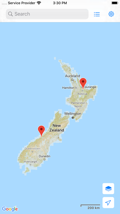
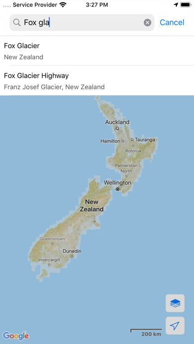
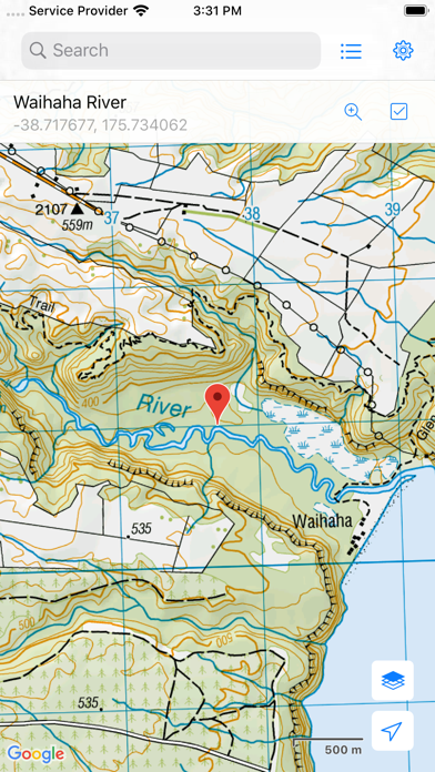
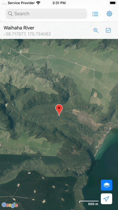
Topographic map of New Zealand with no limitations: • View topographic tiles and satellite imagery • Viewed tiles cached automatically (for offline availability) • Add unlimited map markers • Show your location and distance to markers • Import / export GPS Exchange Format (GPX) waypoints from iCloud Drive • Search for places of interest (supports decimal coordinates) • Navigate with Google Maps interactions (pinch zoom, scroll, rotate, drop marker, drag marker etc) • Battery conscious (for those that can't recharge every day) • Fully functional for free! (no lite or pro versions required) New Zealand (NZ) Topo Map is intended for outdoor enthusiasts who want to mark locations visited or create markers to visit. It does not provide track information, show track routes, record while walking, show speed etc. It's designed to be lightweight, intuitive, responsive, battery conscious and totally free. Perfect for casual day trips to serious bush excursions. Topographic Map Tiles The Topo50 map series provides topographic mapping for the New Zealand mainland and Chatham Islands at 1:50,000 scale. At a scale of 1:50,000, Topo50 maps show geographic features in detail. They are useful for a wide range of activities such as local navigation by vehicle or on foot, locality area planning and study of the environment. Used by a wide variety of groups, Topo50 is the official topographic map series used by New Zealand emergency services. To produce our Topo50 maps of the New Zealand mainland we use: • The New Zealand Geodetic Datum 2000 (NZGD2000) – the coordinates of longitude and latitude • The New Zealand Transverse Mercator 2000 (NZTM2000) projection – this is what enables the curved mathematical surface approximating the Earth to be represented on a flat sheet of paper. To produce our Topo50 maps of the Chatham Islands we use the Chatham Islands Transverse Mercator 2000 (CITM2000) projection. Topo50 map tiles sourced from the LINZ Data Service http://data.linz.govt.nz/ and licensed by LINZ for re-use under the Creative Commons Attribution 3.0 New Zealand licence. Satellite Imagery LINZ has been working towards getting New Zealand’s most current publicly-owned aerial imagery – covering 95% of the country. Aerial imagery is captured from airborne sensors and cameras. It provides an accurate photographic representation of the earth’s surface and the features on it. It can be used to visualise landscape, or to understand how an area has evolved over time. Sourced from the LINZ Data Service and licensed for re-use under the Creative Commons Attribution 3.0 New Zealand licence (http://www.linz.govt.nz/data/licensing-and-using-data/attributing-aerial-imagery-data)
Store creative
Screenshots

Competitive set
Similar apps
Deterministic links to real stored apps matched by category, publisher, and comparable performance bands.

Anchor Watch Alarm ZENKOU PRO
UNITIO PLUS SL

Aral pulse
bp Advanced Mobility Limited

AT Mobile
Auckland Transport

Autel Charge
Autel Digital Power Co., Ltd.

Auto Chilango
Auto Apps de Mexico S de RL de CV

Avenza Maps: Offline Mapping
Avenza Systems Inc.

bePartner
be Group JSC

bergfex: Hiking & Tracking
bergfex GmbH
Methodology and provenance
Read every number with its evidence
Metadata source: Apple iTunes Search API; observed Sep 7, 2026, 11:28 PM.
Rankings: collected chart positions from the listed storefront. Missing ranks are not zeros.
Economics: downloads and gross store consumer spend are estimated, not official Apple or publisher figures.
Model: No persisted model version.
Confidence: —; intervals widen when evidence or history is limited.
Last observation: Sep 7, 2026, 11:28 PM.
See how AppTrendKit separates observations, estimates, coverage, and confidence.
Open methodology