
NV Charts GPS Navigation AIS
Research answer
What AppTrendKit can say about NV Charts GPS Navigation AIS today
NV Charts GPS Navigation AIS has no estimate-backed download or gross-consumer-spend figure that meets the public evidence contract yet.
Observed App Store metadata, chart positions, and history are shown below. Missing, non-finite, undefined-currency, or undefined-metric evidence stays missing rather than becoming zero.
Performance intelligence
Observed trajectory and estimates
Store ranks are observations. Downloads and gross store consumer spend are AppTrendKit estimates and only appear when persisted evidence exists.
Estimated downloads · 30D
ModeledNo persisted estimate
The page does not turn missing evidence into zero.
Estimated App Store gross consumer spend · 30D
ModeledNo persisted estimate
The page does not turn missing evidence into zero.
Estimated downloads · 7D
ModeledNo persisted estimate
The page does not turn missing evidence into zero.
Estimated App Store gross consumer spend · 7D
ModeledNo persisted estimate
The page does not turn missing evidence into zero.
Evidence history
Collected daily performance
No daily metric history has been persisted yet.
Rank history
Observed chart positions
Lower rank is better. Only collected observations are shown.
Coverage note
What the ranks mean
A missing rank is not treated as zero downloads or zero revenue. Apple chart feeds are bounded and may return censored or not-ranked observations outside the visible chart depth.
Read the methodStorefront mix
Top countries by estimated contribution
Country estimates are aggregated only after country-level predictions exist.
Monetization
Observed store economics signals
These are listing and product observations. They are not company revenue, subscriber counts, or advertising revenue.
App details
Store metadata
- Version
- 2.753.249
- Released
- Jun 17, 2013
- Last updated
- Nov 12, 2025
- Content rating
- 4+
- Default storefront
- ZA
Public IAP observations
Validated in-app purchase prices
Only persisted rows with an explicit public publication boundary are shown. Missing price, currency, country, or date values stay unknown.
Listing detail
What the store says
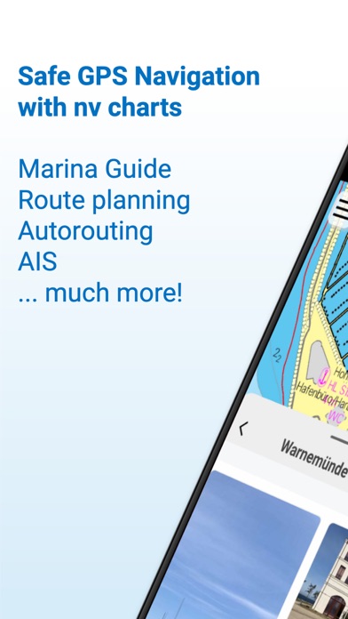
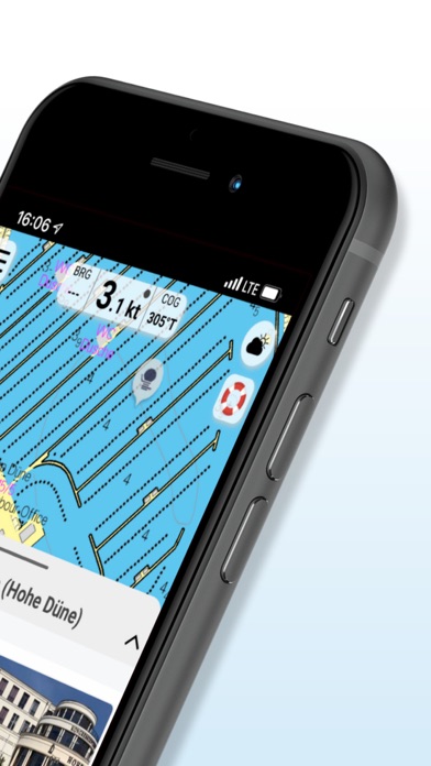
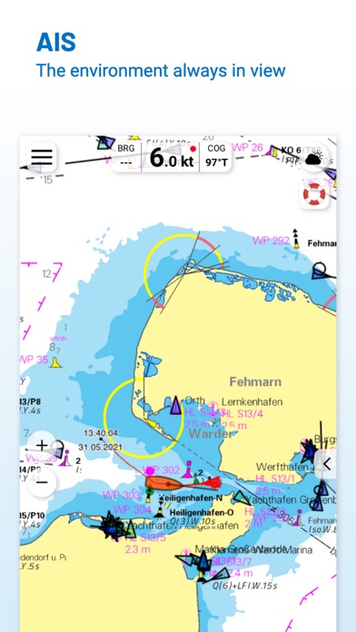
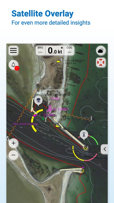
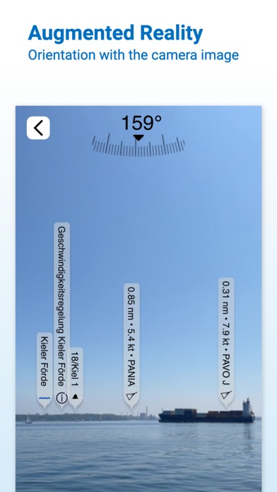
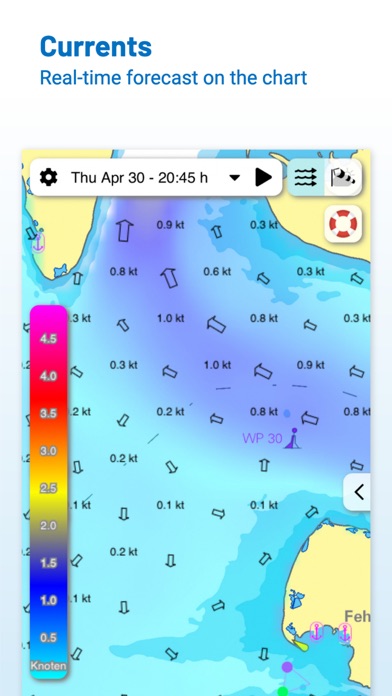
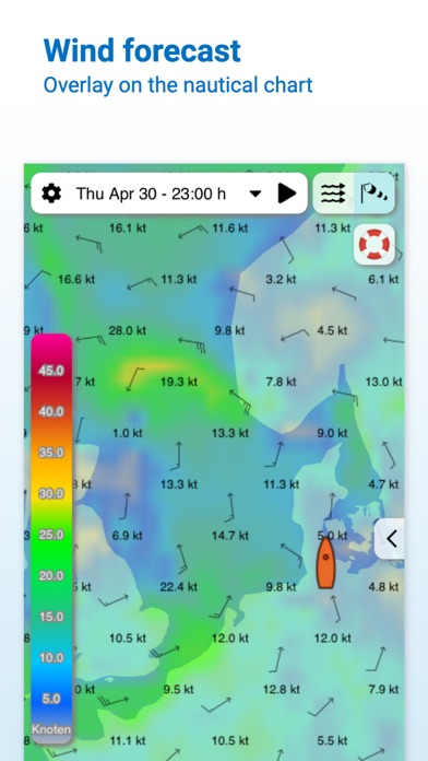
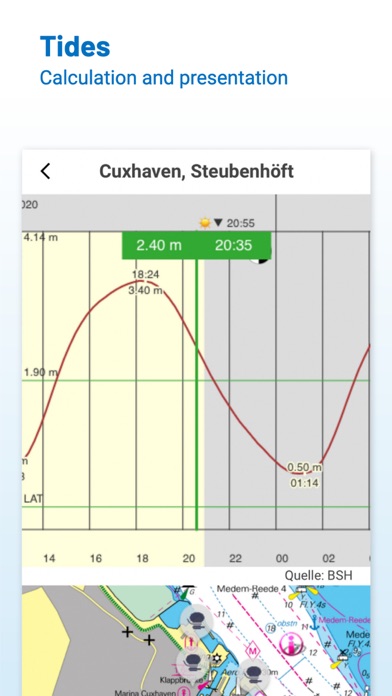
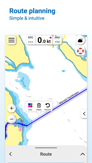
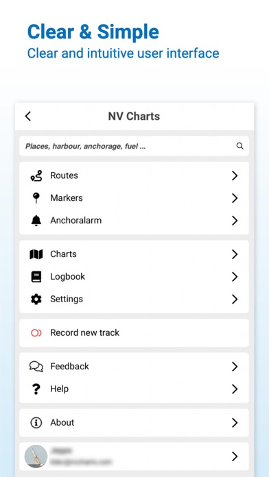
Enhance your navigation experience with a seamless navigation solution that provides up-to-date digital nautical charts, comprehensive harbour information, and a full suite of navigation features. The charts can be downloaded for offline use and offer exceptional compatibility with the NV Charts paper charts with a similar chart design. All currently valid editions of the NV Verlag / NV Charts nautical charts or inland charts | North Sea | Baltic Sea | Netherlands | Wadden Sea | Ijsselmeer | Sweden | Denmark | Germany | Norway | France | USA | Caribbean | Bahamas areas are compatible with the NV Charts App. Enjoy the best of both worlds - paper and digital: A perfect match is our popular combination package of high-quality digital charts and cleverly designed paper charts. Alternatively, you can also purchase digital nautical charts directly via the app with a convenient annual subscription that renews automatically. The integrated update service keeps the charts up to date. If it is not yet clear where the journey should go or no offline charts are activated, free online charts can be displayed for all NV Charts chart areas, even without a currently valid chart licence. Detailed and relevant information is essential for navigating safely on the water. With the NV Charts App, you are part of the BoatView community yourself. You can mark harbours, anchorages and navigation warnings on the digital nautical chart and also add pictures of interesting places that go beyond navigation, such as restaurants or popular attractions, and share them with the community. Others can respond directly with comments. The continuously edited content can be downloaded directly to be available offline. To make all the information easily accessible, the app offers a search function. You can explore the surroundings and search directly for place names as well as anchorages, harbours, ramps, waypoints, cranes, fuel stations or tide stations. The app also offers fast and flexible auto-routing, allowing you to navigate directly to your destination and edit a route manually. Navigation on board is even more fun together! You can share your tracks with friends or use the data outside the app and export it as a GPX file. You can easily share your favourite harbours and anchorages from the app via a link and coordinate your trip planning even better with everyone. The AIS function in the NV Charts App allows you to keep an eye on AIS signals in real time. A WiFi AIS receiver can be connected to the NV Charts App for this purpose. The AIS Class A and B targets and aids to navigation (ATON), as well as MOB AIS SART transponder emergency transmitters, are displayed, and the traffic situation can be better assessed. The NV Charts App can be installed and synchronized on multiple devices. NV Charts App - Features: + Search function + Autorouting for all distances and regions + Velocity Made Good (VMG) + Community Layer / Points of Interest(POI) + Free online boating charts preview for planning + In App Purchases of digital offline charts + Community Layer / Points of Interest(POI) + Reads all NV Chart chart areas + Easy download of the maps + Always the latest data + Seamless zoom and panning functions + Tide Forecast + Online weather + AIS Wifi Support + AIS Sart Beacon + AIS CPA function + Night mode + Anchor alarm + Position with GPS + Intuitive route planning + Course markings, markings, bearing ruler + Port information + Display of instruments + Synchronizing devices + Live Position Sharing + Social sharing of routes, tracks, positions Note: Continued use of GPS in the background can significantly reduce battery life.
Publisher websiteStore creative
Screenshots
Competitive set
Similar apps
Deterministic links to real stored apps matched by category, publisher, and comparable performance bands.

Anchor Watch Alarm ZENKOU PRO
UNITIO PLUS SL

Aral pulse
bp Advanced Mobility Limited

AT Mobile
Auckland Transport

Autel Charge
Autel Digital Power Co., Ltd.

Auto Chilango
Auto Apps de Mexico S de RL de CV

Avenza Maps: Offline Mapping
Avenza Systems Inc.

bePartner
be Group JSC

bergfex: Hiking & Tracking
bergfex GmbH
Methodology and provenance
Read every number with its evidence
Metadata source: Apple iTunes Search API; observed Sep 7, 2026, 8:37 PM.
Rankings: collected chart positions from the listed storefront. Missing ranks are not zeros.
Economics: downloads and gross store consumer spend are estimated, not official Apple or publisher figures.
Model: No persisted model version.
Confidence: —; intervals widen when evidence or history is limited.
Last observation: Sep 7, 2026, 8:37 PM.
See how AppTrendKit separates observations, estimates, coverage, and confidence.
Open methodology