
MapToaster NZ Topo Maps
Research answer
What AppTrendKit can say about MapToaster NZ Topo Maps today
MapToaster NZ Topo Maps has no estimate-backed download or gross-consumer-spend figure that meets the public evidence contract yet.
Observed App Store metadata, chart positions, and history are shown below. Missing, non-finite, undefined-currency, or undefined-metric evidence stays missing rather than becoming zero.
Performance intelligence
Observed trajectory and estimates
Store ranks are observations. Downloads and gross store consumer spend are AppTrendKit estimates and only appear when persisted evidence exists.
Estimated downloads · 30D
ModeledNo persisted estimate
The page does not turn missing evidence into zero.
Estimated App Store gross consumer spend · 30D
ModeledNo persisted estimate
The page does not turn missing evidence into zero.
Estimated downloads · 7D
ModeledNo persisted estimate
The page does not turn missing evidence into zero.
Estimated App Store gross consumer spend · 7D
ModeledNo persisted estimate
The page does not turn missing evidence into zero.
Evidence history
Collected daily performance
No daily metric history has been persisted yet.
Rank history
Observed chart positions
Lower rank is better. Only collected observations are shown.
Coverage note
What the ranks mean
A missing rank is not treated as zero downloads or zero revenue. Apple chart feeds are bounded and may return censored or not-ranked observations outside the visible chart depth.
Read the methodStorefront mix
Top countries by estimated contribution
Country estimates are aggregated only after country-level predictions exist.
Monetization
Observed store economics signals
These are listing and product observations. They are not company revenue, subscriber counts, or advertising revenue.
App details
Store metadata
- Version
- 4.0.9
- Released
- Jun 2, 2014
- Last updated
- Feb 1, 2023
- Content rating
- 4+
- Default storefront
- TH
Public IAP observations
Validated in-app purchase prices
Only persisted rows with an explicit public publication boundary are shown. Missing price, currency, country, or date values stay unknown.
Listing detail
What the store says
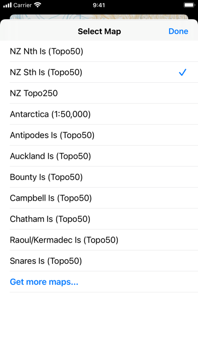
MapToaster for iOS provides New Zealand topo maps with all the rich detail of the LINZ Topo50 and Topo250 topographical maps, helping you plan your expedition and get to the right spot. Whether you are a recreational or business user, MapToaster provides indispensable reference topo maps, with easy-to-use software. The app includes a 1:250,000 scale topographical map of New Zealand. The 1:50,000 scale topo maps are available for in-app purchase and these include: * New Zealand South Islandand Stewart Island * New Zealand North Island, Kermadec group and Chatham Islands * Antarctica around the area of the Ross Sea and the sub-antarctic islands - Antipodes Is, Auckland Is, Bounty Is, Campbell Is, Snares Is Once downloaded, the mapping doesn't need a WiFi connection or cellphone coverage, as the maps are stored on your device. Features: * detailed LINZ 1:50,000 mapping available by in-app purchase. * comprehensive search index with over 60,000 placenames. Includes all the map placenames, locality names, track start and end points * 1:50,000 mapping shows Conservation Estate with a magenta border and Scenic & Recreation reserves with a red border * built-in map legend * coordinates can be displayed and entered either in WGS-84 longitude/latitude or local projected coordinates (e.g. NZTM etc) * navigate to a waypoint using a head-up display on the map. Shows the speed, time-to-destination, distance, bearing and direction to turn to get to the destination. Select a destination by tapping the waypoint symbol on the map, then the "Navigate to Waypoint" menu option. Tap the navigation display to cancel navigation. Option to use device heading or ground track for direction. * share waypoints by email, iMessage and AirDrop * import waypoints from GPX files by email, iMessage and AirDrop * import and share tracks in GPX file format by email, iMessage and AirDrop * geocachers can view the full detail in geocaching.com PocketQuery files, with automatic colour coding by cache type. * map can show and follow your current location. Map display can be north-up or track-up * create waypoints either at your current location or by tap & hold on the map * create a track by tapping out a path on the screen * record your track while the GPS is running. Note that continued use of GPS running in the background can dramatically decrease battery life. * split screen mode for iPads * 3D Touch Home screen shortcuts on iPhone 6s or later * map browsing and Find handoff between your devices. View a map on your iPhone and jump to your iPad at the same place * the Find, Track and Waypoint views show the distance from the centre of the current view * measure distances by tapping out a track on the screen * uses familar gestures: pinch to zoom, drag, double-tap to zoom in, two-finger tap to zoom out, tap & hold to mark a waypoint * maps are stored on your device. Once the download is done, you don't need an Internet connection * privacy-friendly. The app doesn't report your location to us and the waypoints & tracks stay on your device, unless you choose to share them * friendly helpful technical support by email Made by Integrated Mapping Ltd, a Christchurch-based company with over 30 years experience in developing mapping software, whose customers include multinational consulting companies, conservation organisations, Crown Research Institutes, central, regional and local government, universities, schools and libraries, emergency services such as St Johns, helicopter rescue, Search and Rescue, and Police.
Publisher websiteStore creative
Screenshots


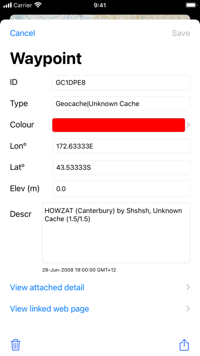
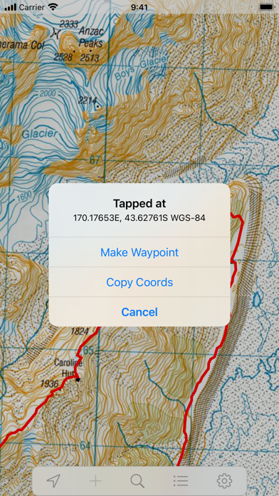
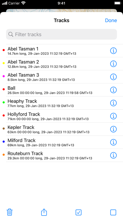
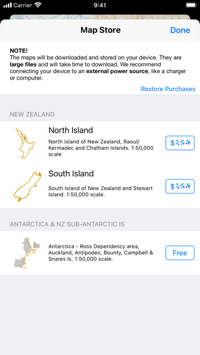

Competitive set
Similar apps
Deterministic links to real stored apps matched by category, publisher, and comparable performance bands.

Anchor Watch Alarm ZENKOU PRO
UNITIO PLUS SL

Aral pulse
bp Advanced Mobility Limited

AT Mobile
Auckland Transport

Autel Charge
Autel Digital Power Co., Ltd.

Auto Chilango
Auto Apps de Mexico S de RL de CV

Avenza Maps: Offline Mapping
Avenza Systems Inc.

bePartner
be Group JSC

bergfex: Hiking & Tracking
bergfex GmbH
Methodology and provenance
Read every number with its evidence
Metadata source: Apple iTunes Search API; observed Sep 7, 2026, 11:28 PM.
Rankings: collected chart positions from the listed storefront. Missing ranks are not zeros.
Economics: downloads and gross store consumer spend are estimated, not official Apple or publisher figures.
Model: No persisted model version.
Confidence: —; intervals widen when evidence or history is limited.
Last observation: Sep 7, 2026, 11:28 PM.
See how AppTrendKit separates observations, estimates, coverage, and confidence.
Open methodology