
Topo Maps Canada
Research answer
What AppTrendKit can say about Topo Maps Canada today
Topo Maps Canada has no estimate-backed download or gross-consumer-spend figure that meets the public evidence contract yet.
Observed App Store metadata, chart positions, and history are shown below. Missing, non-finite, undefined-currency, or undefined-metric evidence stays missing rather than becoming zero.
Performance
Downloads, revenue and chart history
Estimates for the last 7D. Chart positions come from the App Store; downloads and revenue are AppTrendKit estimates, shown as a size band (for example 10K–50K) with a confidence level.
Estimated downloads · 7D
UnavailableNo estimate yet
We only show an estimate once we have enough data. Missing numbers are never shown as zero.
Estimated App Store gross consumer spend · 30D
Upper limitUnder $200
Below the top 100 in Navigation (CA)
The app is not in its category's top 100, so it has less than the app ranked #100 there. We show this limit until we have enough data for an estimate.
History
Collected daily performance
No daily history yet.
Rank history
Chart positions
Lower rank is better. Only collected observations are shown.
- Free
- #79
- Paid
- —
- Grossing
- —
- Free
- #87
- Paid
- —
- Grossing
- —
| Date | Free | Paid | Grossing |
|---|---|---|---|
| Sep 27, 2026 | #79 | — | — |
| Sep 29, 2026 | #87 | — | — |
Coverage note
What the ranks mean
A missing rank is not treated as zero downloads or zero revenue. Apple chart feeds are bounded and may return censored or not-ranked observations outside the visible chart depth.
Read the methodApp Store search
Keywords Topo Maps Canada ranks for
Observed positions in Apple's US search results, best first. Popularity is a 0–100 index, not a search count.
| Keyword | Position | Change | Popularity | Difficulty |
|---|---|---|---|---|
| canada | #10 | new | 60 | 51 |
Storefront mix
Top countries by estimated contribution · 7D
Country figures cover the days we collected in each country, so they don't add up to the worldwide estimate. Each country shows when it was last updated.
Monetization
How the app makes money
These are listing and product observations. They are not company revenue, subscriber counts, or advertising revenue.
App details
Store metadata
- Version
- 6.7
- Released
- Sep 23, 2010
- Last updated
- Sep 24, 2026
- Content rating
- 4+
- Default storefront
- CA
Public IAP observations
Validated in-app purchase prices
Only persisted rows with an explicit public publication boundary are shown. Missing price, currency, country, or date values stay unknown.
Listing detail
What the store says
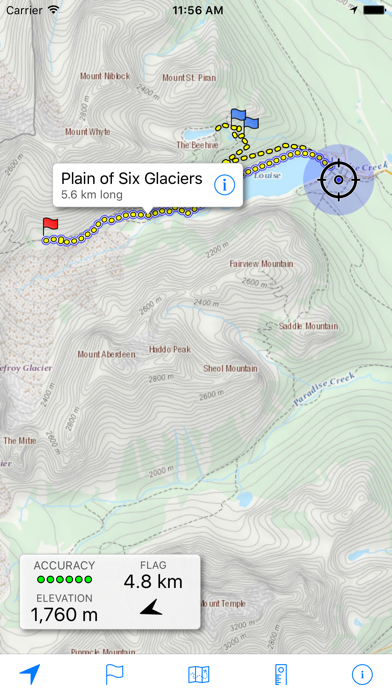
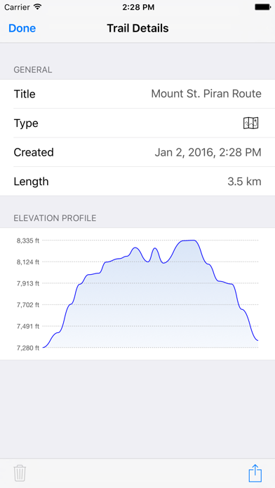
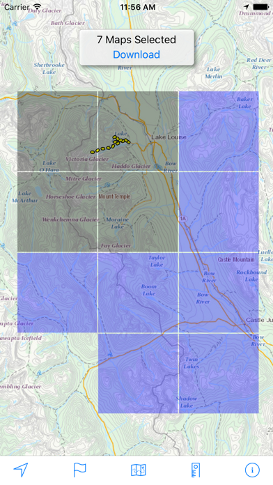
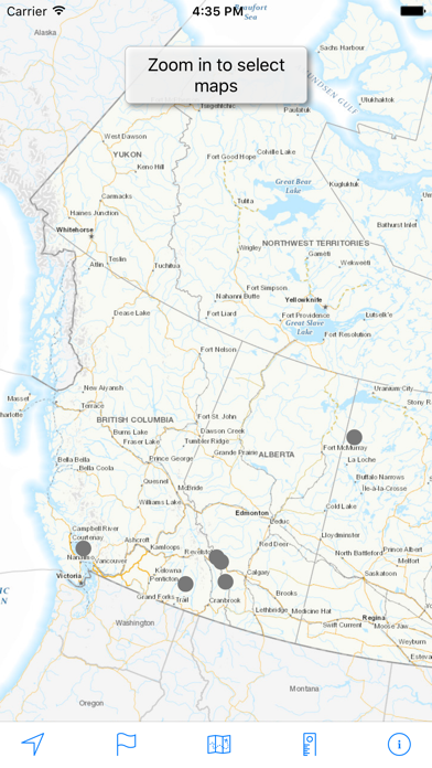
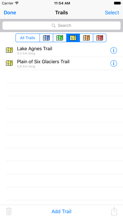
Download and view topographic maps covering Canada. Topographic maps are useful for recreational activities such as hiking, canoeing, camping, fishing, mountain biking, geocaching, and exploring. MAPS Choose from 3 map sources: Canada Base Map (shaded/unshaded), and Toporama. OFFLINE Download maps for areas of interest to view them later when you don't have Internet access or you don't want to use cell data. TRACKING Use location tracking to show where you are on the map, your elevation, and the accuracy of the GPS signal. FLAGS Flags are included with map downloads. Add flags (waypoints) to the map to mark your current location or other locations. Import flags from other sources using GPX files and geocache LOC files. Share flags with others using email or AirDrop. Organize your flag types by color, for example, geocaches, trailheads, and summits. TRAILS Trails are included with map downloads. Import trails (tracks) using GPX files you find on the Internet or from your personal GPS track collection. Share trails with others using email or AirDrop. Organize your trail types by color, for example, mountain bike trails, hiking trails, and OHV trails. TRAIL RECORDING Record your own trails to show where you've been on the map, follow them later, and share with others. ELEVATION PROFILE Recorded trails include an elevation profile (distance/elevation chart). NAVIGATION Navigate to a flag by following the direction arrow that uses your compass heading. Useful for geocaching. MEASURE Measure the distance between points on the map. Note: Continued use of GPS running in the background can dramatically decrease battery life.
Store creative
Screenshots
Competitive set
Similar apps
Deterministic links to real stored apps matched by category, publisher, and comparable performance bands.

Google Maps
Google LLC

Petro-Canada
Petro-Canada

onX Hunt: GPS Hunting Maps
onXmaps, Inc.

Topo GPS - Topografische kaart
rdzl

Waze Navigation & Live Traffic
waze

Transit • Subway & Bus Times
9280-0366 Quebec inc.

SpotHero: #1 Rated Parking App
SpotHero, Inc.

賃貸・売買物件検索 SUUMO(スーモ)でお部屋探し
Recruit Co.,Ltd.
How we estimate
Where every number comes from
App details: Apple iTunes Search API, updated Sep 27, 2026, 10:56 PM.
Rankings: collected chart positions from the listed storefront. Missing ranks are not zeros.
Economics: downloads and gross store consumer spend are estimated, not official Apple or publisher figures.
Model: Lineage not exposed by this aggregate.
Confidence: —; intervals widen when evidence or history is limited.
Last updated: Sep 29, 2026, 12:01 AM.
See how AppTrendKit separates observations, estimates, coverage, and confidence.
Open methodology